
Guides · 7 min read
Salher Salota Trek Guide
By Wild Rangers · 17 July 2026
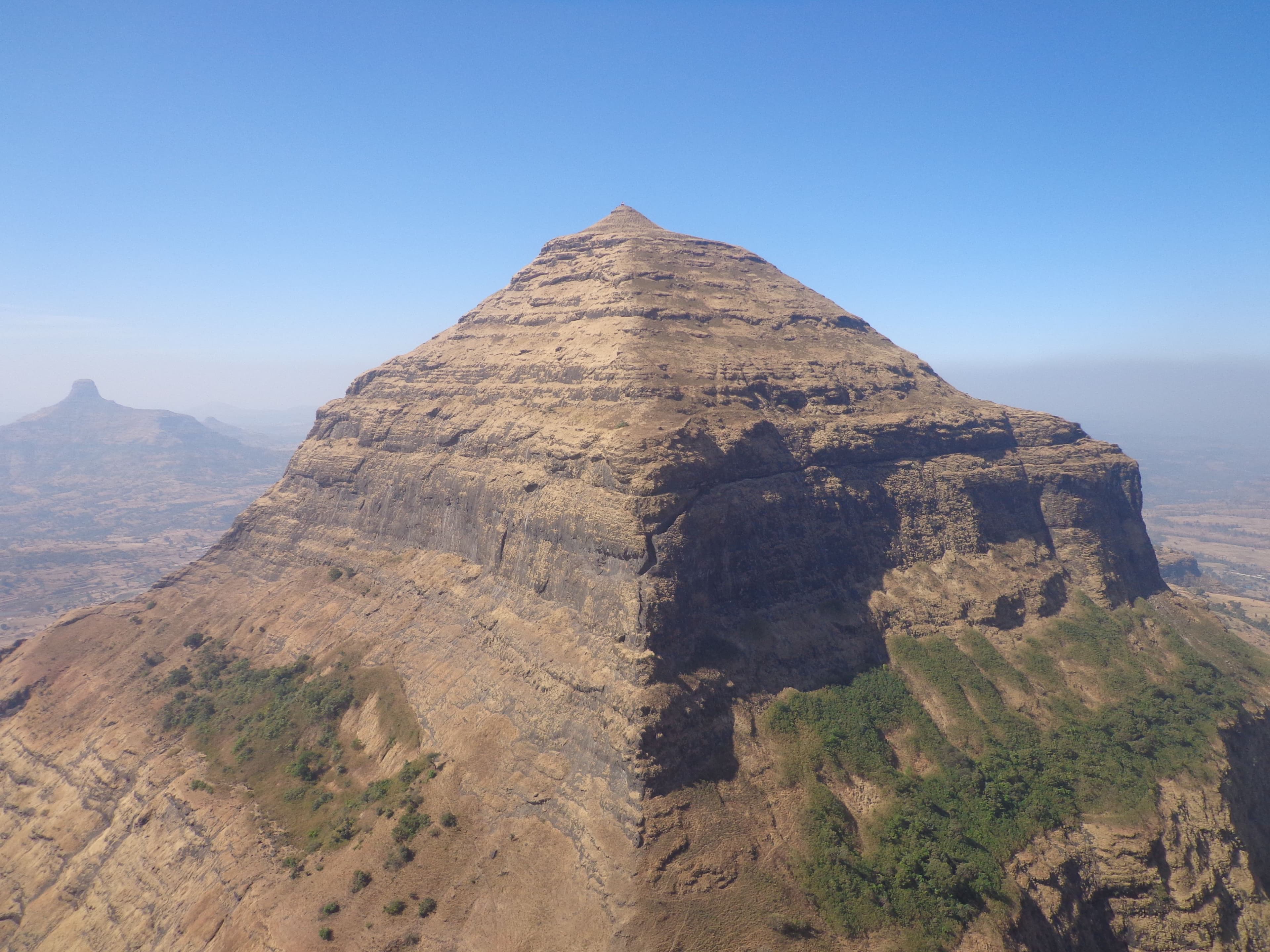
**Salher** holds a special record: at ~1,567 m it is the **highest fort in Maharashtra** (and among the highest in the Sahyadri). Along with its sister fort **Salota**, it forms the Salher–Salota range near Nashik — a serious, scenic trek for those ready to level up. This is the Salher Salota range trek guide.
Salher and Salota — the connect
The classic route links **Salher** and **Salota** forts across a ridge, with a col (the 'vaat') between them. Trekkers often do both in one route, descending via Salota. The guided Salher Salota Range Trek runs transport from Mumbai/Pune and a guide for the ridge traverse.
Trek difficulty
Graded **moderate–difficult**. The Salher ascent is a steady ~2.5–3 hour climb; the col and Salota descend are long. Not a beginner trek — good fitness required. The reward is the highest-fort panorama and the historic battlefield site.
How to reach
Base is near Satana/Waghambe (Nashik district), about 5–6 hours from Mumbai. The batch handles the drive so you start at the trailhead.
Best time
October–March. Monsoon is extremely slippery and the ridge is exposed — only for very experienced groups with a guide.
Book the Salher Salota trek
Join the guided Salher Salota Range Trek from Mumbai or Pune — a bucket-list Sahyadri climb.
Frequently Asked Questions
What is the difficulty level of the Salher Salota trek?+
The Salher-Salota trek is considered moderate to difficult, spanning approximately 12-14 km round trip with an elevation gain of around 1,500 meters. It requires good physical condition and basic trekking experience, taking 2 days to complete.
When is the best time to trek Salher Fort?+
The ideal season is from October to June. Post-monsoon (October-November) offers lush greenery, while winter (December-February) provides pleasant temperatures. Summer months can be extremely hot and should be avoided.
How do I reach the base camp of Salher Fort?+
The trek starts from Salher village in Nashik district. Take a train or bus to Igatpuri, then a local taxi or auto-rickshaw to Salher village (160 km from Mumbai). The nearest railway station is Igatpuri, about 25 km away.
What is the route and distance for the Salher-Salota trek?+
The trek connects Salher (1,760m) to Salota (1,600m) via the main ridge. The distance is approximately 8-10 km one way, typically done as a 2-day trek with camping at the ridge. The route includes steep sections and narrow paths.
What should I pack for the Salher Salota trek?+
Essential items include sturdy trekking shoes, 2-3 liters of water, snacks, a raincoat, flashlight, first aid kit, and warm clothing for night. Carry a 15-liter backpack and avoid carrying valuables.
Is there a guide available for this trek?+
Yes, guided batches are organized for the Salher-Salota trek. These typically include experienced guides, porters, and camping equipment. Check with local trekking clubs or tour operators for upcoming batch dates and registration.
Are there any camping facilities at Salher Fort?+
Yes, there are designated camping areas at both Salher and Salota forts. Overnight stays are common, and basic camping facilities are available through guided treks. Wild camping is permitted but should be done responsibly.
What are the entry fees and permits required?+
There are minimal entry fees for the protected forest area. No special permits are required for Indian citizens, but foreign nationals may need additional documentation. Check with local forest offices or trekking organizers for current fee structure.
More from the blog
Guides · 7 min read
Sandhan Valley Trek Guide
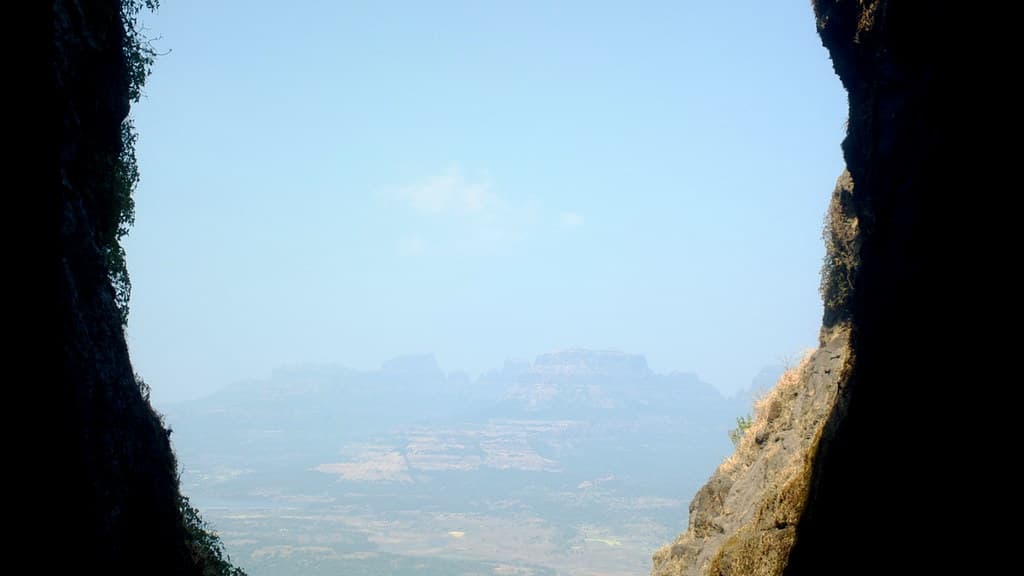
Sandhan Valley — the 'Valley of Shadows' — explained: the rappelling, the overnight stay, difficulty, and how to reach from Mumbai. Links to the guided batch.
By Wild Rangers · 17 Jul 2026
Community · 5 min read
Trekking Groups in Mumbai
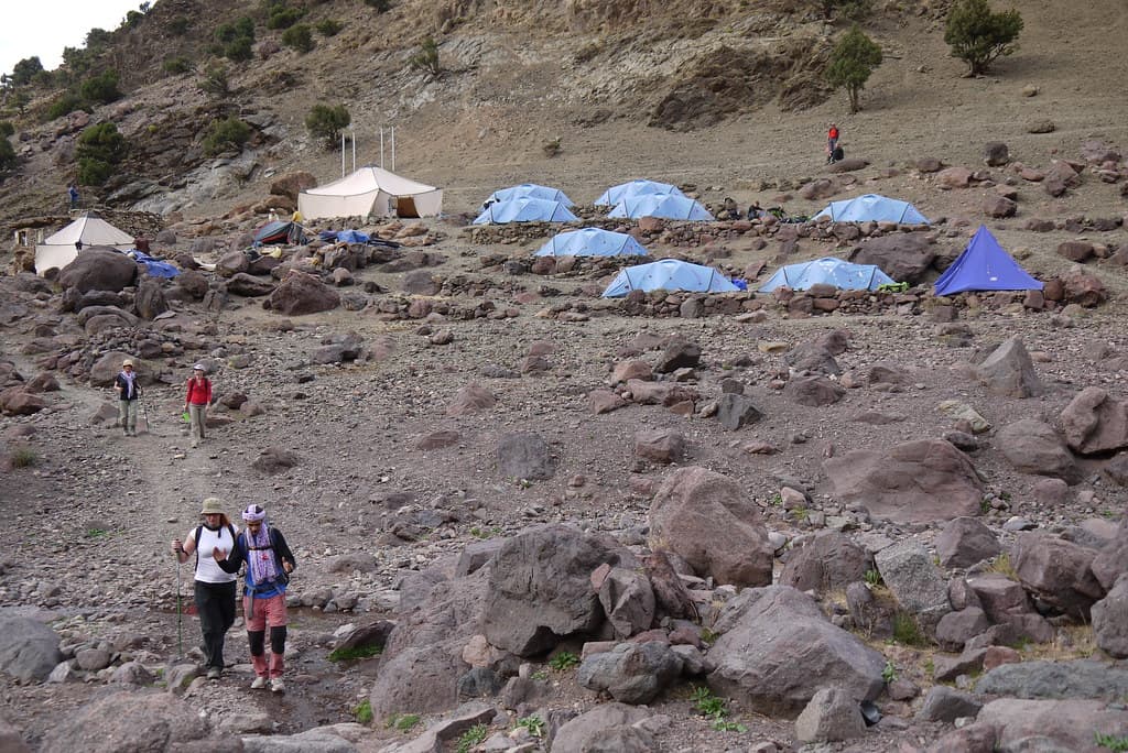
Trekking groups in Mumbai: Wild Rangers runs fixed-departure batches with certified leaders, gear and transport — solo-friendly.
By Wild Rangers · 17 Jul 2026
Guides · 8 min read
Velas Turtle Festival 2027 Guide
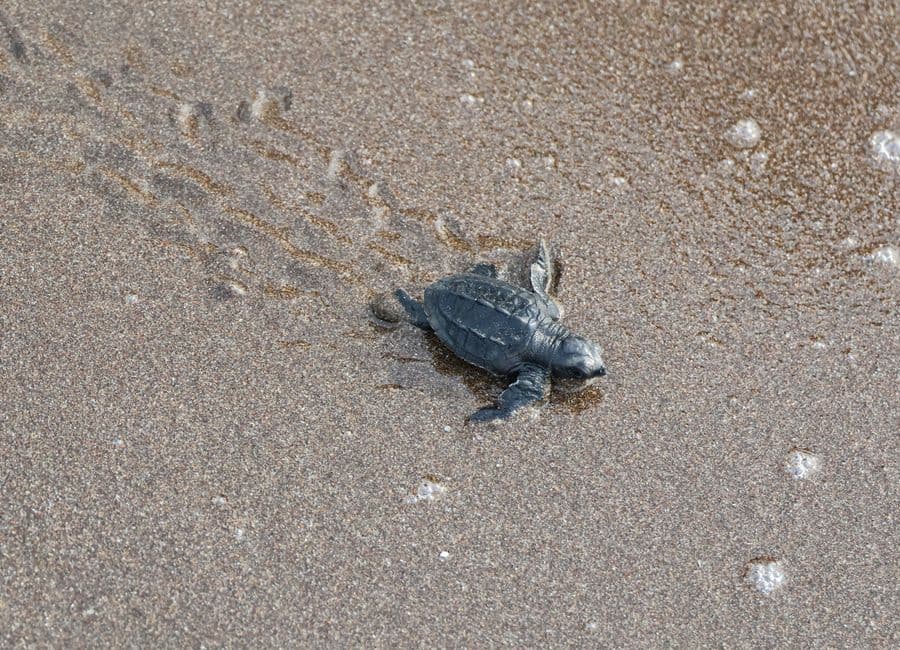
Velas Turtle Festival 2027 guide — the olive ridley hatchling release. Dates, how to reach from Mumbai & Pune, and best time.
By Wild Rangers · 18 Jul 2026