
Guides · 7 min read
Kalavantin Durg Trek Guide
By Wild Rangers · 18 July 2026
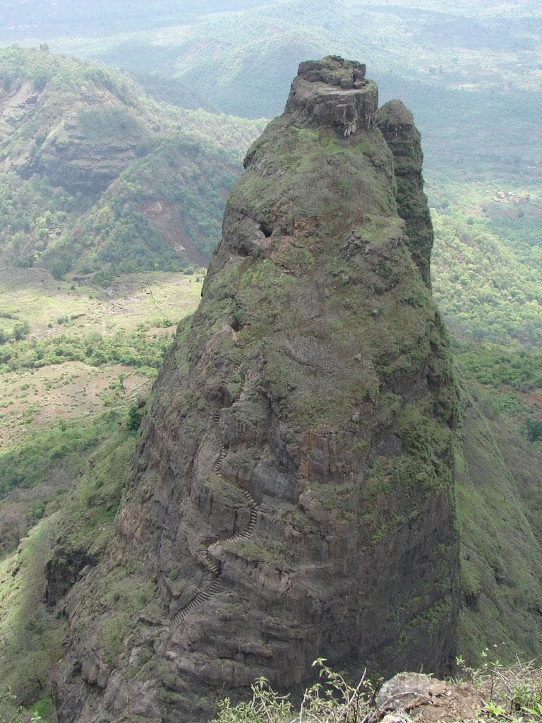
The **Kalavantin Durg trek** is the most photographed pinnacle in the Sahyadri — and for good reason. A slender rock tower with a stone staircase carved straight into its spine, switchbacking up to a tiny summit with 360-degree views over the Mumbai–Pune Expressway, the ghats, and (on clear days) the sea. Locals call it the *Climb to Heaven*, and the name fits: the steps are steep, narrow and genuinely exposed.
This guide covers everything you need before you go — the route, the height, how hard it really is, the best season, how to reach the base from Mumbai and Pune, and what to carry. If you just want to book a guided batch, jump to the Kalavantin Durg Trek from Mumbai.
Where is Kalavantin Durg?
Kalavantin Durg sits in the **Raigad district of Maharashtra**, between Matheran and Panvel, at about 686 m (2,250 ft) above sea level. The base village is **Thakurwadi** (near Panvel); the climb begins after a short walk to the Prabalmachi plateau, which is also the fork for the adjacent Prabalgad Fort. It is roughly **70 km from Mumbai** and about **120 km from Pune** — making it one of the closest real thrill-climbs to either city.
Kalavantin Durg height & the staircase
The summit is **686 m / 2,250 ft**, but the number barely matters — it's the *vertical* that gets you. From Prabalmachi the rock-cut staircase climbs roughly **400–500 steps** over about 200–300 m of steep, exposed rock. The steps are cut directly into the hillside with drops on the open side, which is exactly why the trek is graded **Difficult**: not because it is long, but because of the exposure.
Kalavantin Durg trek difficulty
Grade: **Difficult**. The distance is short (about 1.5–2 km one way from Thakurwadi, ~1 hour of careful climbing), but the rock-cut steps are narrow with air on three sides at the top. It is suitable for fit trekkers who are comfortable with heights and have done at least one fort climb before. It is **not** a beginner-friendly first trek, and not one for young children.
Best time to do the Kalavantin Durg trek
The best window is **October to February** — dry steps, clear views and comfortable temperatures. Avoid the peak monsoon (June–September): the rock gets treacherously slippery, and most responsible operators pause summit batches during the rains. March–May (summer) is doable if you start very early to beat the heat.
How to reach Kalavantin Durg from Mumbai & Pune
**From Mumbai:** Drive/train to Panvel, then a short transfer to **Thakurwadi base village** (~45–60 min from Panvel). The total Mumbai-to-base drive is about 2–2.5 hours depending on traffic. **From Pune:** Via the Old Mumbai–Pune Highway through Lonavala and Karjat to Panvel, then on to Thakurwadi — roughly 3–3.5 hours.
Local buses and autos run Panvel → Thakurwadi, but most trekkers join a batch with transport. The same base gives you the Prabalmachi Trek & Camping option if you want a fuller overnight.
Kalavantin Durg trek route (step by step)
1. Reach **Thakurwadi base village** and register at the local gram panchayat checkpoint. 2. Walk the broad trail to the **Prabalmachi plateau** (~45 min). 3. At the fork, take the **right trail toward Kalavantin Durg** (the left goes to Prabalgad). 4. Climb the **rock-cut staircase** in small groups — one cluster at a time on the exposed section. 5. Reach the tiny summit ledge for the 360° view, rest, and descend carefully. 6. Return to Prabalmachi and back to Thakurwadi by evening.
What to carry
Grip shoes (closed, no sandals on the steps), at least 2 litres of water, a cap, sunscreen, a small backpack, personal medication, and a dry bag for electronics. Start early — the summit has no shade.
Safety & permissions
The base has a gram panchayat registration. Go with a guide or an organised batch, especially if it is your first exposed climb. The small-group management on the staircase (one cluster ascending at a time) is as much a safety system as the briefing itself. Never attempt the steps in the rain.
Combine it with Prabalmachi
Many batches pair Kalavantin with the neighbouring **Prabalmachi plateau** for a longer day of forest, waterfalls (in monsoon) and expressway views — or add the nearby Irshalgad fort. If you want the climb handled end-to-end, book the guided Kalavantin Durg Trek from Mumbai with transport, a safety briefing and trek leaders who manage the staircase in small groups.
Frequently Asked Questions
How high is Kalavantin Durg?+
The summit is about 686 m (2,250 ft) above sea level. The climb itself is roughly 400–500 rock-cut steps from the Prabalmachi plateau to the top.
Where is the base village for Kalavantin Durg?+
The base village is Thakurwadi, near Panvel in Raigad district, Maharashtra — about 70 km from Mumbai and 120 km from Pune.
How difficult is the Kalavantin Durg trek?+
It is graded Difficult because of the exposed rock-cut staircase with drops on the open side, not because it is long. The climb is about 1.5–2 km and takes roughly an hour of careful going.
What is the best time for Kalavantin Durg?+
October to February offers dry, safe steps and clear views. Avoid peak monsoon (June–September) when the rock is slippery; summer is manageable only with an early start.
How do I reach Kalavantin Durg from Mumbai?+
Train or drive to Panvel, then transfer to Thakurwadi base village (~45–60 min). The full Mumbai-to-base drive is about 2–2.5 hours. Most trekkers join a guided batch with transport.
Can beginners do the Kalavantin Durg trek?+
Only confident, fit beginners with no fear of heights. It is not a gentle first trek and is not suitable for young children because of the exposure on the steps.
Is Kalavantin Durg open during monsoon?+
The trail is technically open, but responsible operators pause summit batches in peak monsoon because the rock-cut steps become dangerously slippery. The best and safest window is October to February.
More from the blog
Guides · 7 min read
Korigad Fort Trek Guide
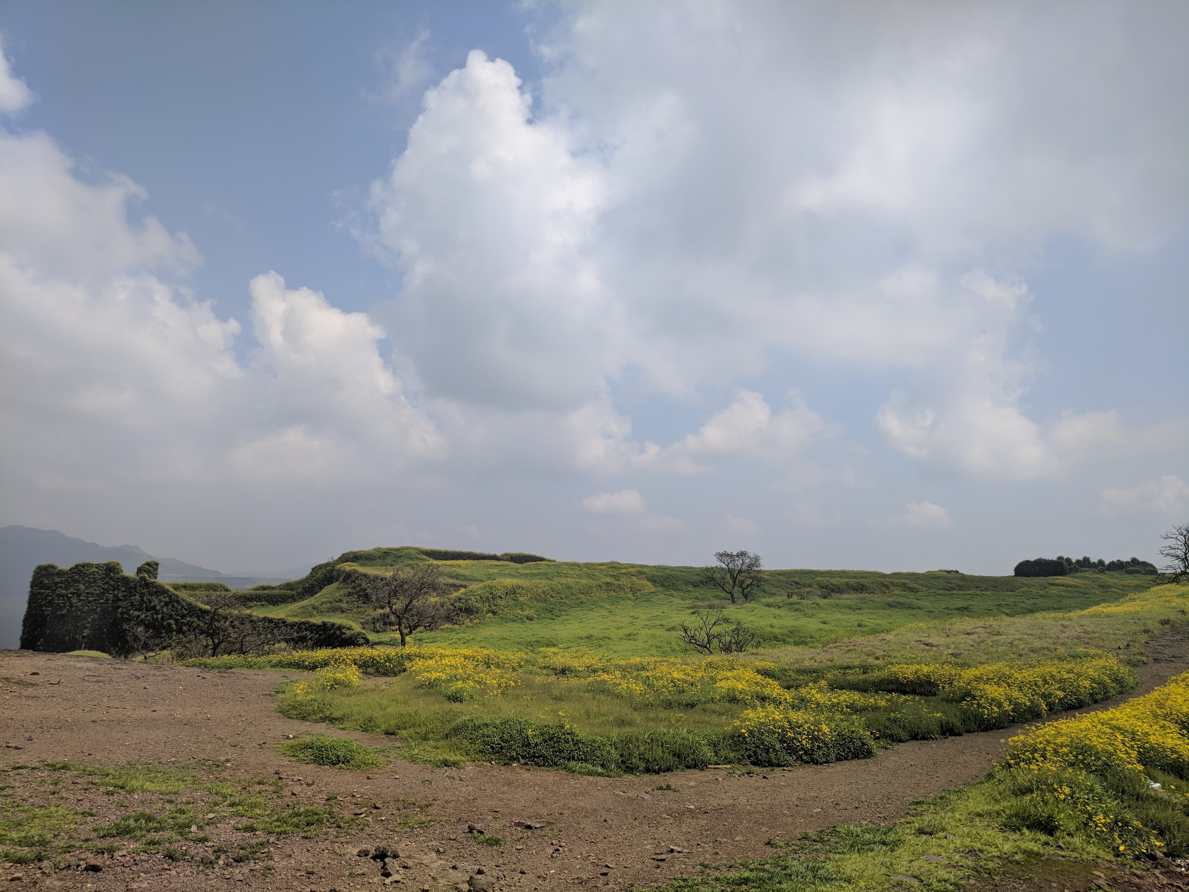
Korigad Fort trek guide — how to reach from Pune and Mumbai, trek difficulty, what to see at the fort, and the best season.
By Wild Rangers · 17 Jul 2026
Guides · 7 min read
Kothaligad (Peth Fort) Trek from Mumbai
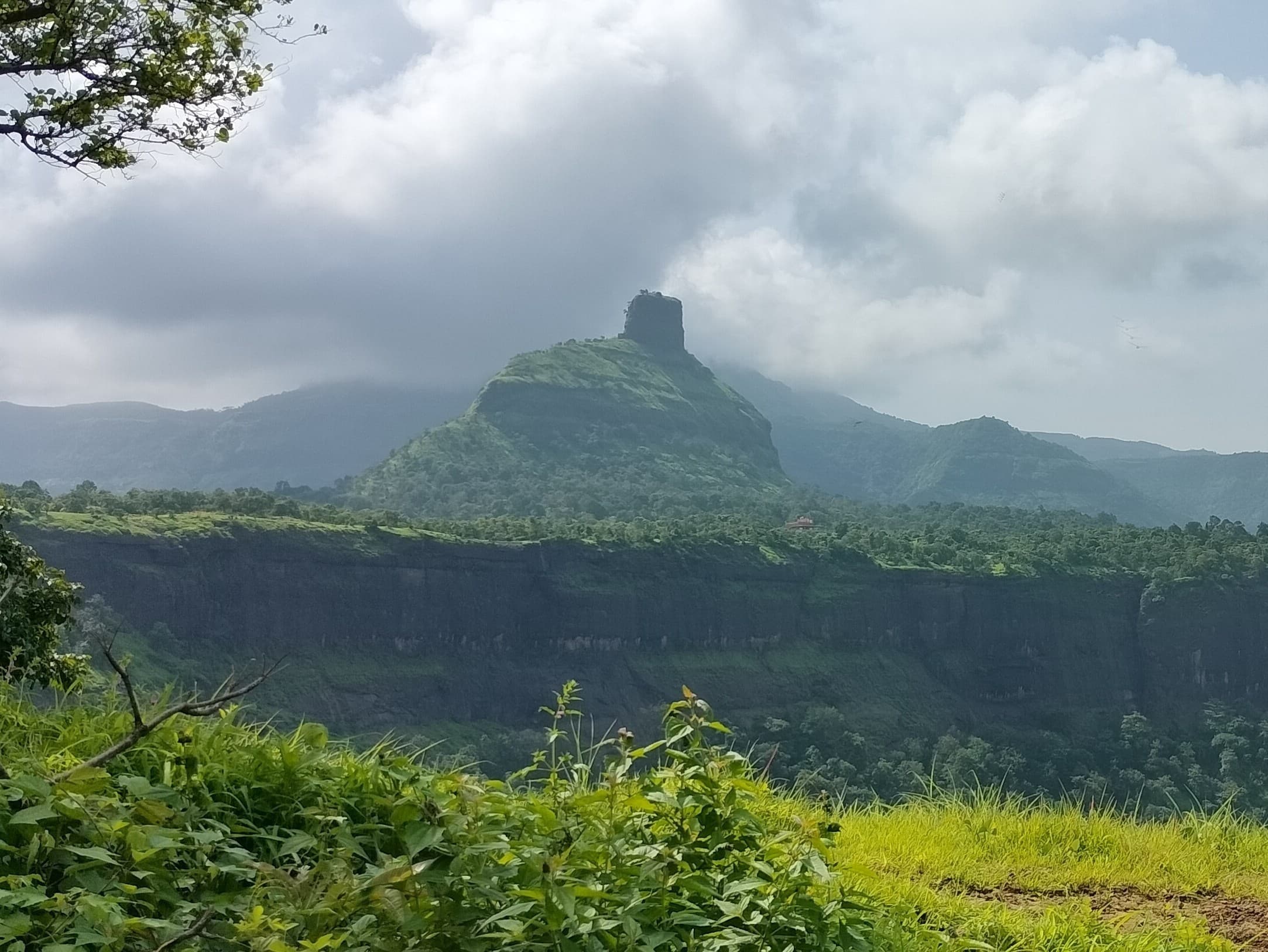
Kothaligad (Peth Fort) trek guide — the famous needle-hole pinnacle, trek difficulty, how to reach, and best season.
By Wild Rangers · 17 Jul 2026
Guides · 8 min read
Kudremukh Trek Guide
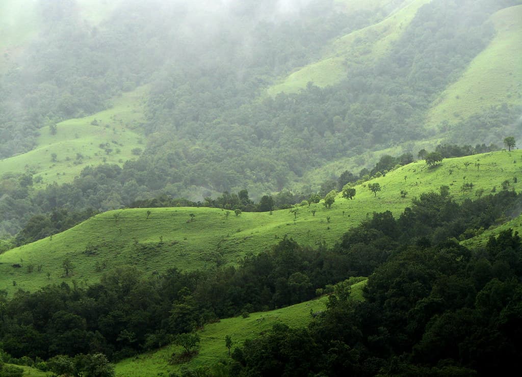
Kudremukh trek guide — Karnataka's horse-faced peak, 22 km ridge walk, permits, best season and how to reach from Bangalore, Mumbai & Pune.
By Wild Rangers · 18 Jul 2026